Elevation: 8,686 ft
Prominence: 306
This peak is not in the book.
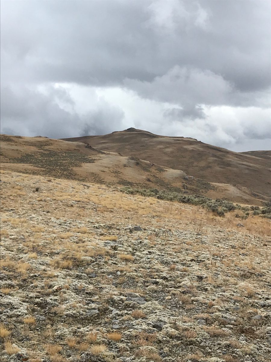
Peak 8686 lies southwest of Peak 8726 and south of Anderson Peak. This peak provides views of the Lost River Range, the Boulder Mountains and the Thousand Springs Valley. USGS Horse Basin
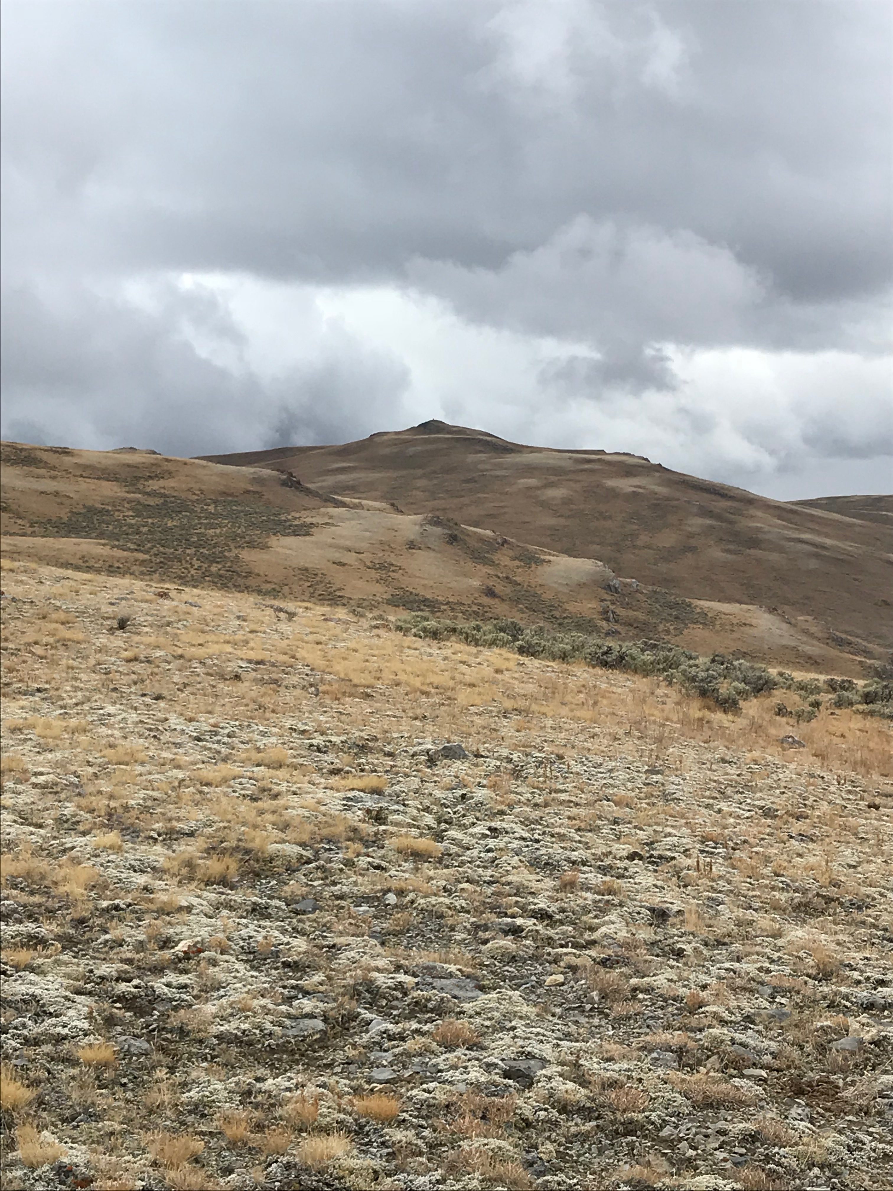
Peak 8686. Steve Mandella Photo
Access
Access this peak one of two ways. Take US-93 northwest from Mackay and turn onto Dry Gulch Road/HL350. Travel south until the road reaches an area near the saddle between Peak 8686 and Peak 8726, around the 8315 contour. Look for a jeep road heading southeast (toward the saddle between the peaks). If you have a high-clearance 4WD vehicle, drive up the jeep road to the saddle. Otherwise, park at the base of this 4WD road and hike from there.
Alternatively, drive west up Trail Creek Road from US-93 until you reach the [signed] right turn for “Walker Way.” Follow Walker Way as it winds around Peck’s Canyon until it intersects with Dry Gulch Road/HL350. Take Dry Gulch/HL350 and travel north to reach the jeep trail access to the peak discussed in the previous paragraph. Dry Gulch Road/HL350 is closed from 12/16-4/30 annually, so plan accordingly.
Northeast Ridge, Class 1
A jeep trail goes nearly all the way to the summit, bypassing Point 8541 on the way. The trail is visible and easy to follow the entire way. A high-clearance 4WD vehicle will take you a long ways up. Otherwise, find a place to park and hike up the jeep trail. The true summit is marked with a tall cairn.
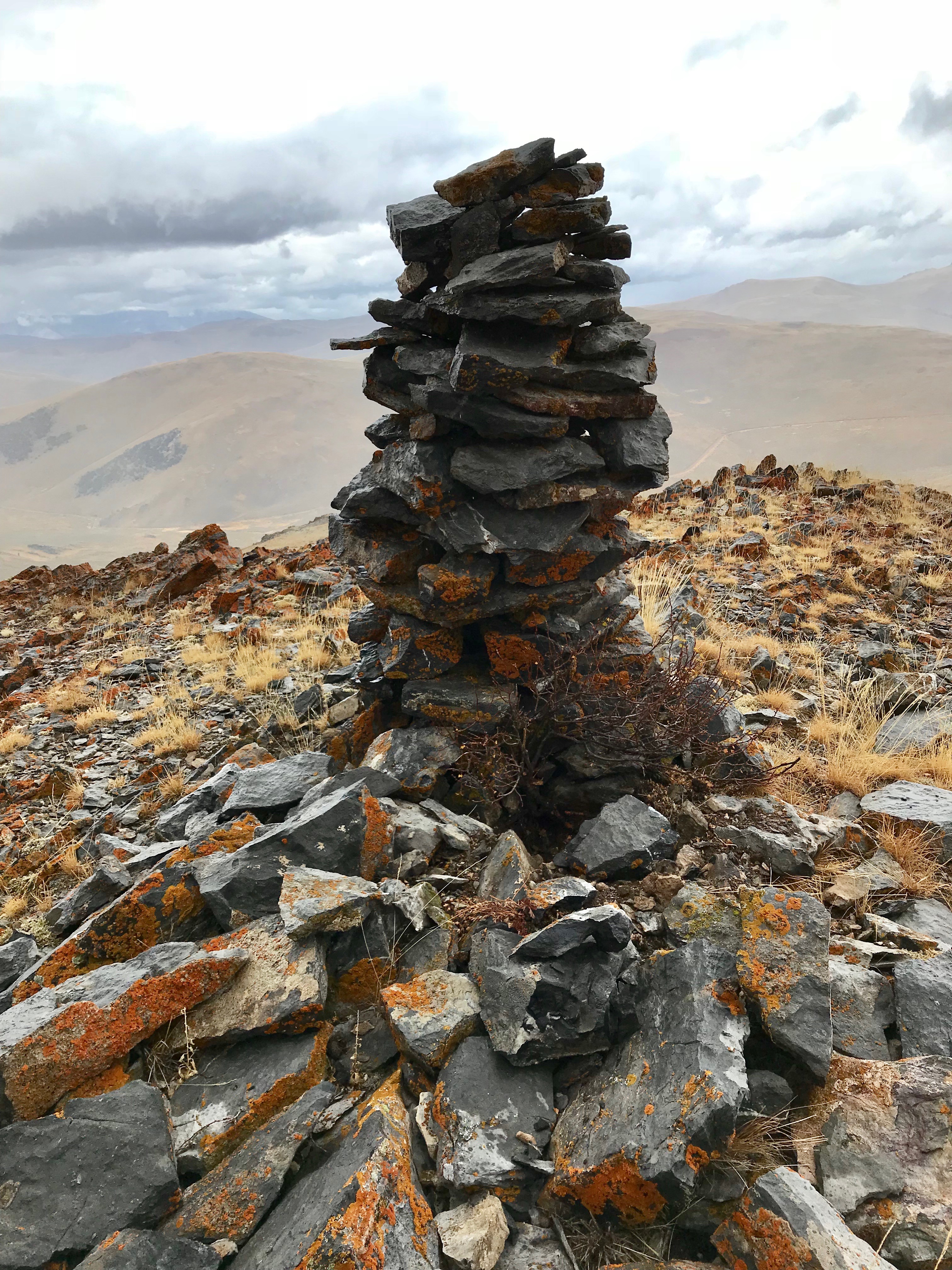
The summit cairn atop Peak 8686. Steve Mandella Photo
Additional Resources
Regions: Boulder Mountains->EASTERN IDAHO
Mountain Range: Boulder Mountains
Longitude: -114.01439 Latitude: 44.14819