Elevation: 9,540 ft
Prominence: 360
This peak is not in the book. Published November 2022
Peak 9540 is located on a cirque at the headwaters of Frenchman Creek. It is most easily climbed via its northeast face from the end of Frenchman Creek Road. USGS Frenchman Creek
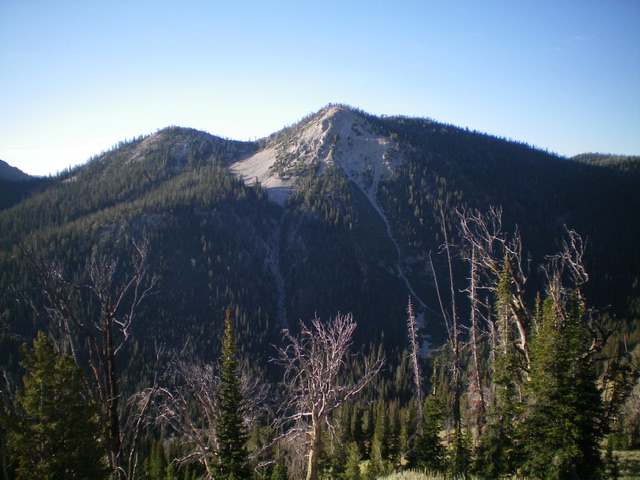
Peak 9540 (dead center) as viewed from the north. Livingston Douglas Photo
Access
Same as for Peak 9495. This is the fourth leg of a 5-peak adventure that includes Peak 9495, Peak 9303, Peak 9599, Peak 9540, and Peak 9818.
West Ridge, Class 2
The Climb
From the 9,180-foot connecting saddle with Peak 9599, scramble east up the semi-forested ridge on somewhat steep, loose scree/gravel to reach Point 9526 (cairn here). While not the official summit, it measures five feet higher than the official summit to the north. Bushwhack north through a forested area of both live pines and burnt snags down to a minor saddle then up to the official high point, which is a tall pine tree with a small cairn next to it.
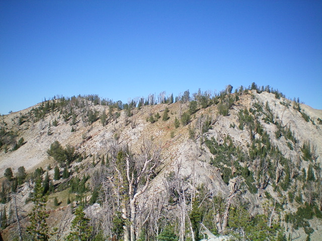
Peak 9540 (right of center) and Point 9526 (left of center) as viewed from the east. Which hump is actually higher? Livingston Douglas Photo
East Ridge, Class 2+
The Descent
From the summit, follow the narrow ridge crest east in semi-open terrain through rocky outcrops and ridge pines, climbing up over a ridge hump then descending to a gentle, open saddle at 8,980 feet. This is the connecting saddle with Peak 9818. This concludes the fourth leg of today’s 5-peak journey. Peak 9818 is up next.
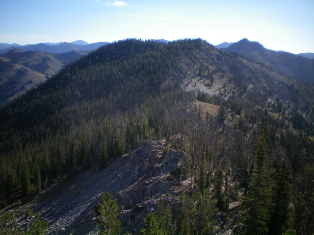
Peak 9540 (left of center) and Point 9526 (just right of center) as viewed from the connecting ridge with Peak 9599 to the west. Livingston Douglas Photo
Additional Resources
Mountain Range: Sawtooth Range
Longitude: -114.80039 Latitude: 43.80269