Elevation: 9,599 ft
Prominence: 539
This peak is not in the book. Published November 2022
Peak 9599 is located on a cirque at the headwaters of Frenchman Creek. It is most easily climbed from Smiley Creek via the West Fork Big Smoky Creek Trail/FST-224 and its southwest ridge. USGS Frenchman Creek
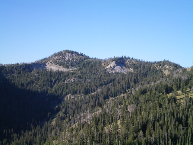
Peak 9599 (summit is left of center) as viewed from the northeast. Livingston Douglas Photo
Access
Same as for Peak 9495. This is the third leg of a 5-peak adventure that includes Peak 9495, Peak 9303, Peak 9599, Peak 9540, and Peak 9818.
North Ridge, Class 2
The Climb
From the 9,020-foot connecting saddle with Peak 9303, scramble south up the north ridge of Peak 9599. This ridge is a convoluted mess of pine forest, blowdown, minor ups and downs, and minimal visibility. There are endless ridge pines that clog the ridge crest but there are some weak game trails to skirt the problem areas. The ridge is narrow in most spots and side-hilling is not easy. There is a lot of deadfall on the ridge crest and in the forest. The ridge wiggles a bit on its way to the summit. The summit of Peak 9599 is mostly open and has a tall summit cairn.
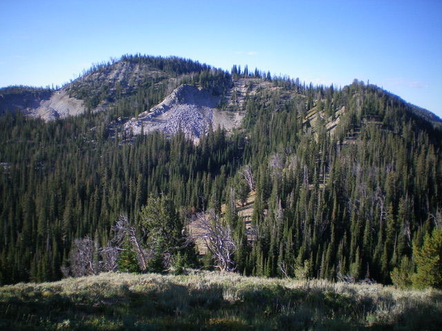
Peak 9599 as viewed from Peak 9303 to its north. The summit is left of center. My ascent route follows the semi-forested ridge to the summit. Livingston Douglas Photo
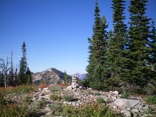
The summit of Peak 9599. Livingston Douglas Photo
East Ridge, Class 3
The Descent
From the summit, return north down the summit ridge and look for the connecting ridge east-northeast to Peak 9540. It is not easy to see, given the forested ridgeline. Descend east-northeast then east on the steep, narrow ridge of rocky outcrops and ridge pines high up (Class 3) to reach less steep, but still clogged, forested ridge terrain. The final descent northeast to the 9,180-foot connecting saddle with Peak 9540 is in easy, semi-open terrain. The saddle is a gentle, open affair and concludes the third leg of today’s 5-peak adventure. Peak 9540 is up next.
Additional Resources
Mountain Range: Sawtooth Range
Longitude: -114.81711 Latitude: 43.79601