Elevation: 6,984 ft
Prominence: 600
This peak is not in the book. Published June 2019
Sheep Point is located SSW of Smoky Dome in the complicated tangle of peaks that rise up between the Camas Prairie and the main Soldier Mountains Crest. This peak is perhaps the most distinctive peak in this group as it is somewhat isolated from the other peaks and is easily spotted from the valley. The views from the summit are expansive. USGS Smoky Dome
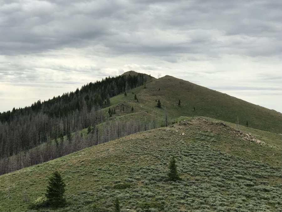
Sheep Point as viewed from the north.
Access
Access Sheep Point via Chimney Creek Road. Click this link for access information:
Southern Soldier Mountains Access Routes
To reach the starting point for this peak, follow FS-484 to the north side of Peak 6860. Continue to a point where an unnumbered two-track road is on your right. Turn onto this road and follow it to its end at a fence line. Park here.
Northwest Ridge, Class 2
Cross the fence by crossing over the low gate. Follow the two-track road southeast along the ridge leading toward Sheep Point. This road undulates up, down, and around the ridge paralleling a range fence. The road drops down to a 6,400-foot saddle at the base of the peak’s Northwest Ridge. Leave the road at this saddle, cross the fence, and follow the ridge to the summit.
My route covered 5.0 miles, gained 1,029 feet, and included a side trip to Peak 6860.
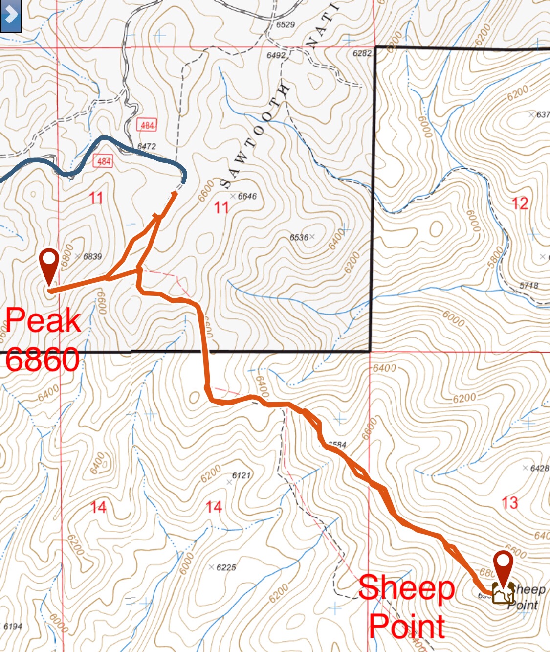
My GPS track for Sheep Point and Peak 6860.
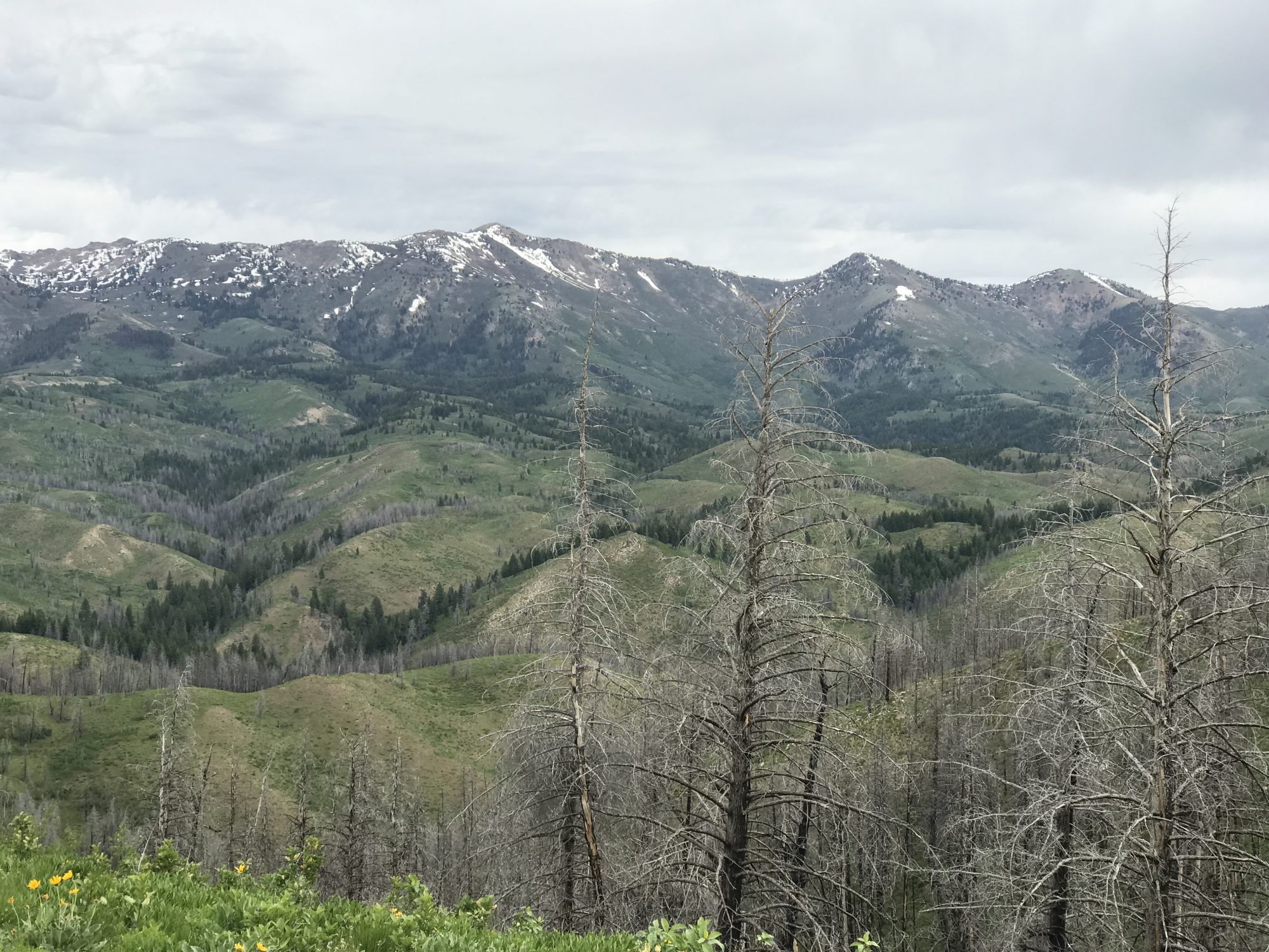
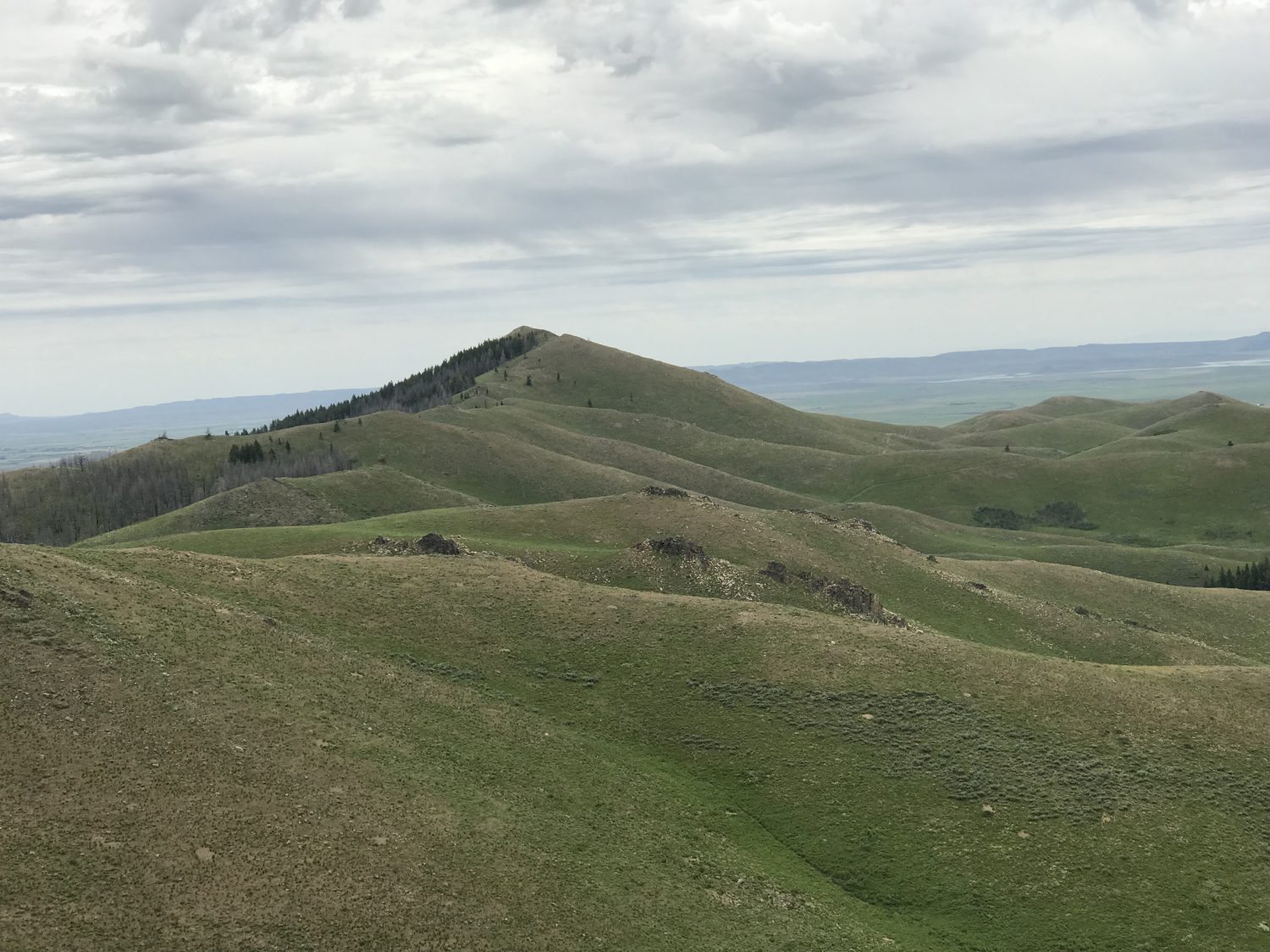
The main Soldier Mountains Crest as viewed from Sheep Point.
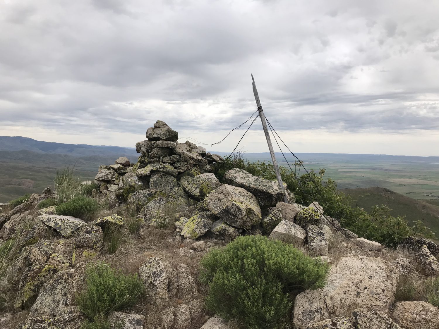
The remains of the survey station on the summit.
Sheep Point.
Additional Resources
Regions: Soldier Mountains->WESTERN IDAHO
Mountain Range: Soldier Mountains
Year Climbed: 2019
Longitude: -114.97569 Latitude: 43.41669