* Peaks listed in Elevation order; highest to lowest
| Photo | Peak Name | Mountain Range | Elevation | Prominence | Year | Description |
|---|---|---|---|---|---|---|
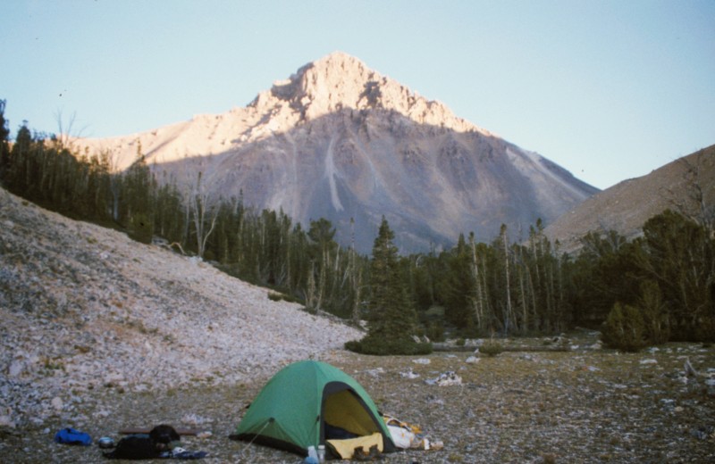
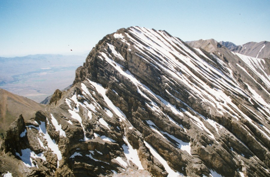
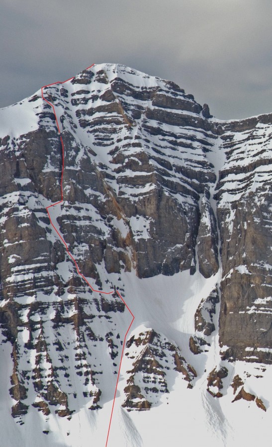
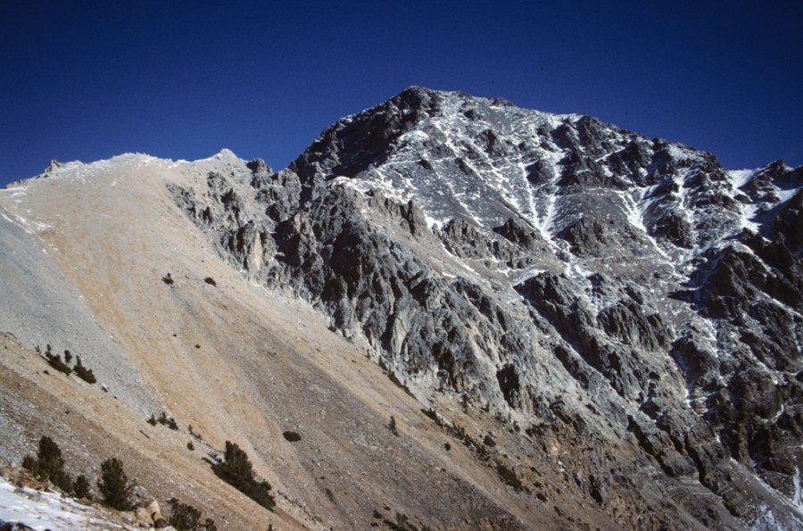
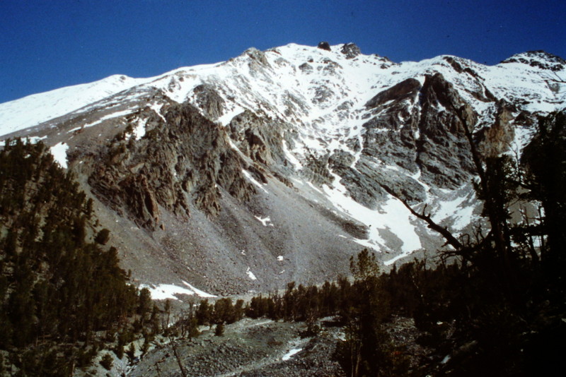
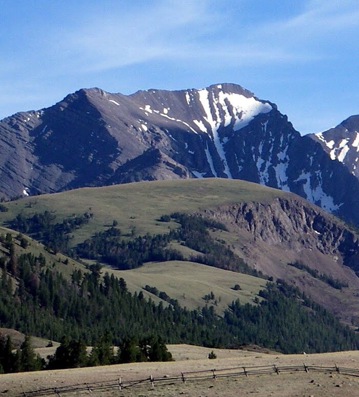
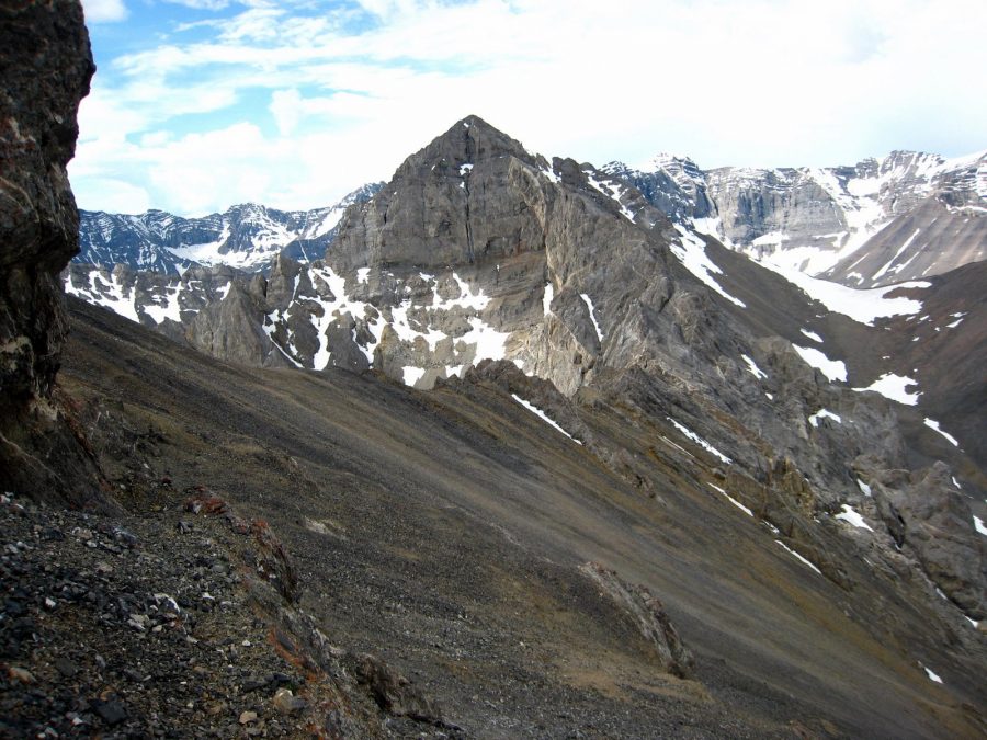
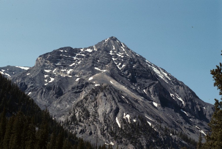
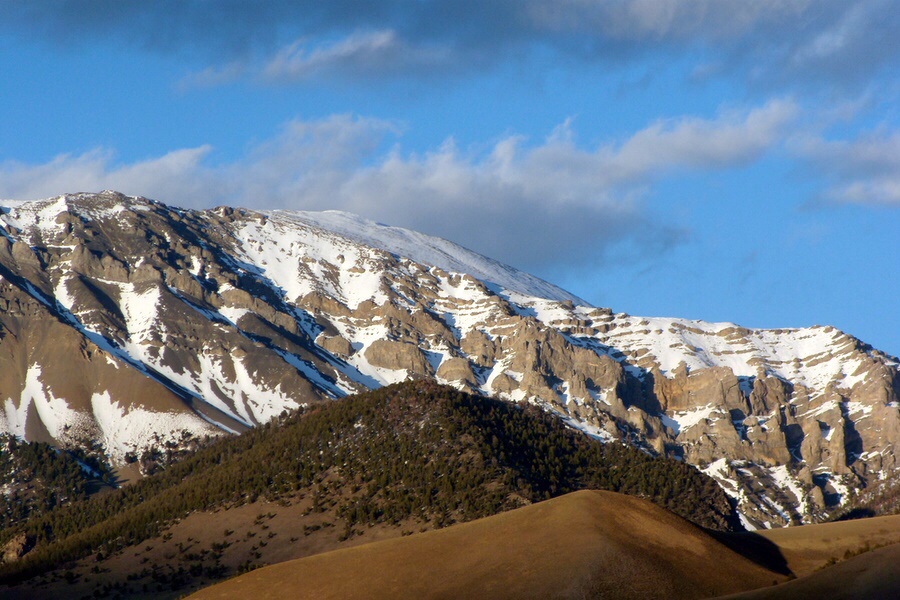
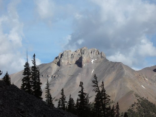
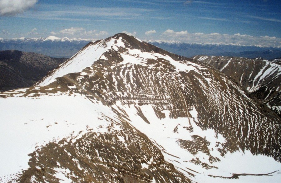
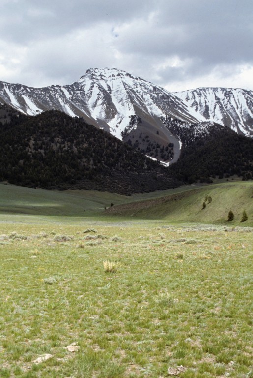
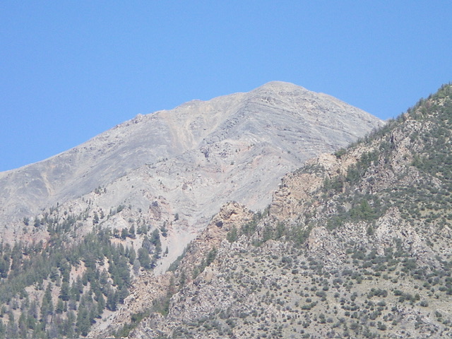
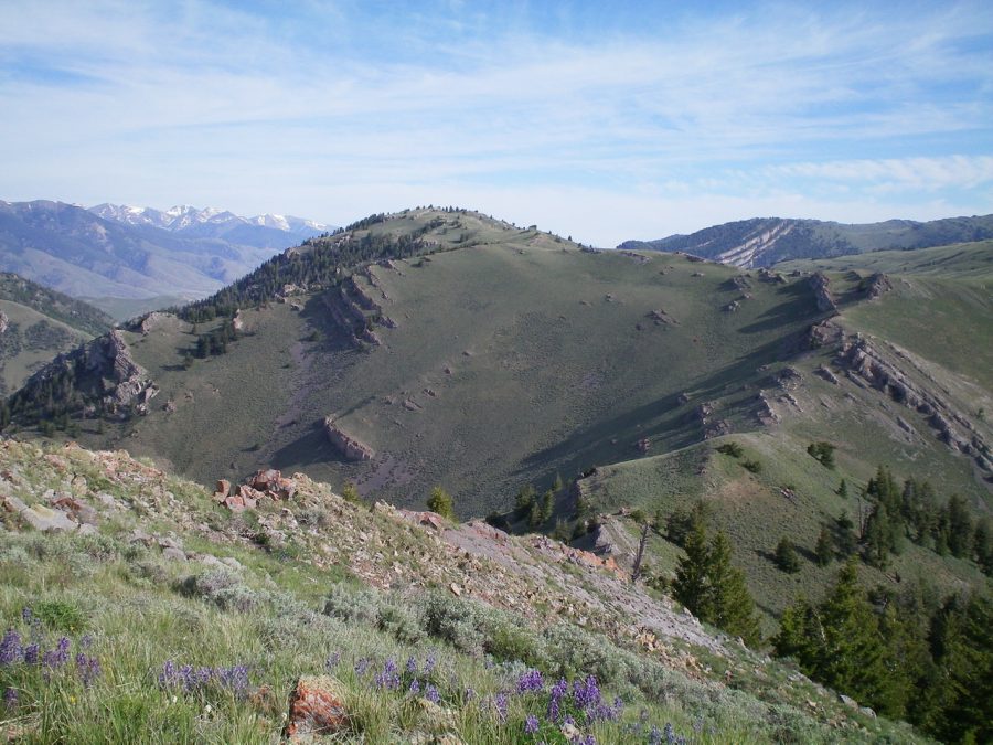
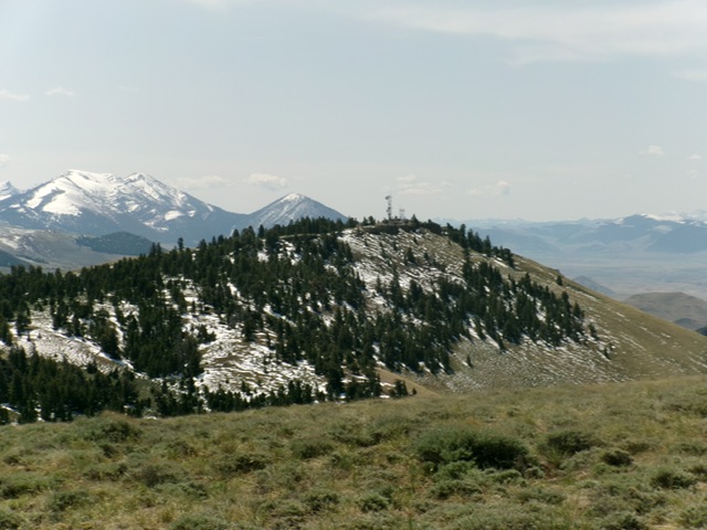
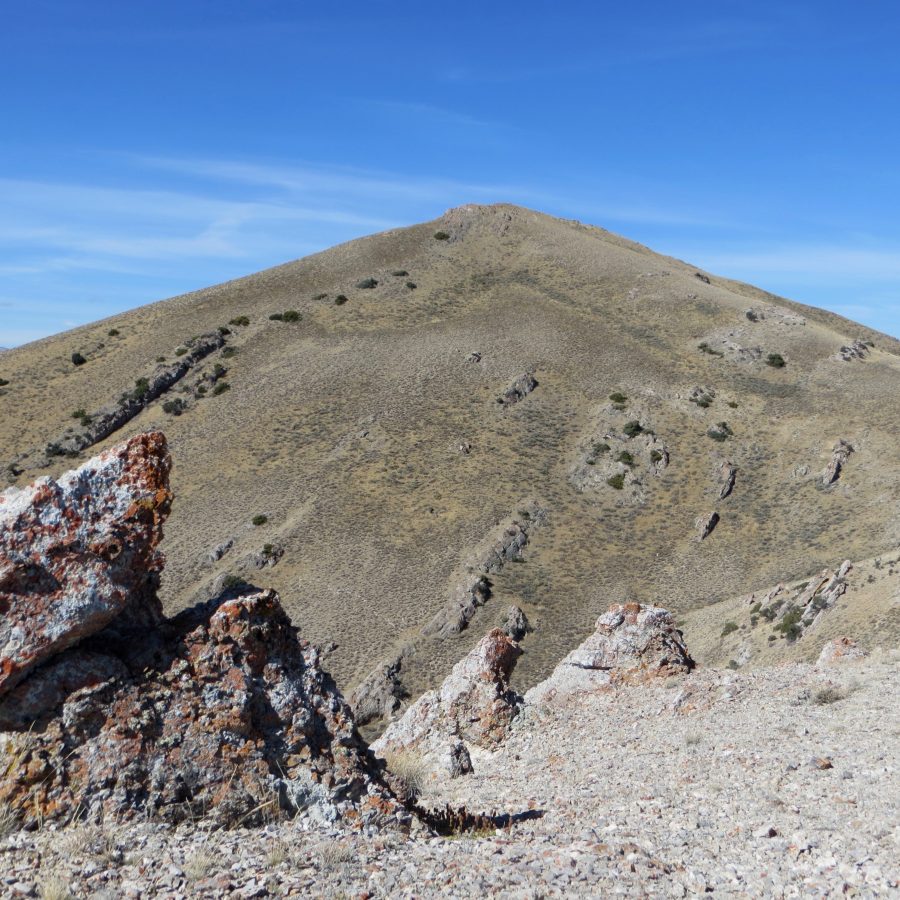
| Mount Borah: Peak Information and Climbing Guide | Lost River Range | 12,662 ft | 6002 | 1981, 1999 | This great peak is situat ... read more | |
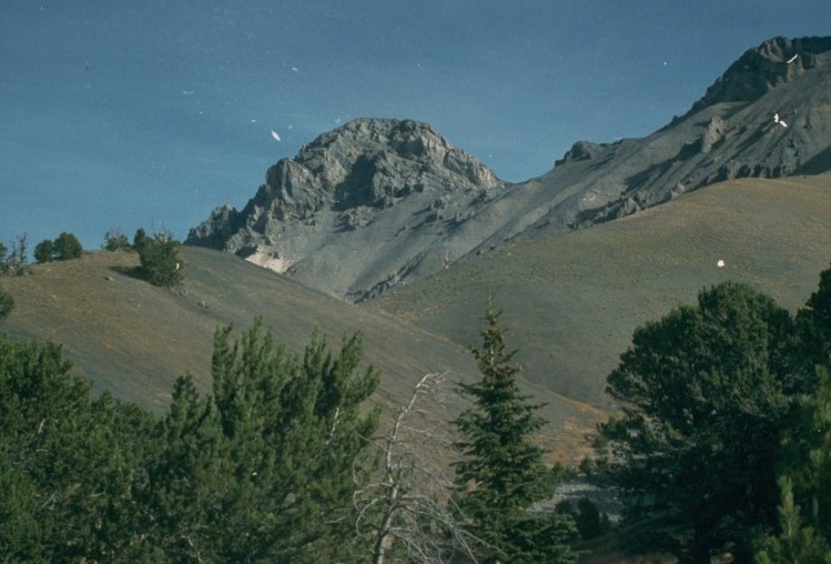
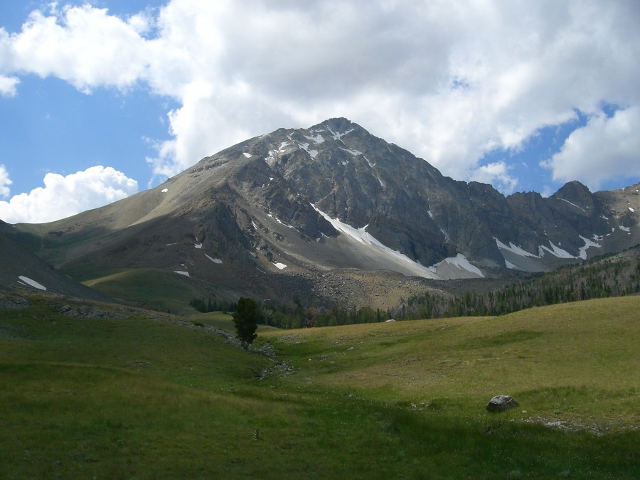
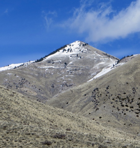
| Leatherman Peak | Lost River Range | 12,228 ft | 5387 | 1982 | Climbing and access information for this peak is on Page 276 of the book. The West Ridge and Southwest Fac ... read more |
| Mount Church | Lost River Range | 12,200 ft | 960 | 1987 | Climbing and access information for this peak is on Pages 277-278 of the book. Note the alternative approa ... read more |
| Mount Breitenbach | Lost River Range | 12,140 ft | 640 | 1991 | Climbing and access information for this peak is on Pages 278, 280 and 281 of the book. Also, see We ... read more |
| Lost River Mountain | Lost River Range | 12,078 ft | 698 | 1989 | Climbing and access information for this peak is on Page 283 of the book. Updated June 2022 Ac ... read more |
| Mount Idaho | Lost River Range | 12,065 ft | 1085 | 1990 | Climbing and access information for this peak is on Pages 277-278 of the book. Also see Wes Collin's artic ... read more |
| Donaldson Peak | Lost River Range | 12,023 ft | 323 | 1987, 2014 | Climbing and access information for this peak is on Page 278 of the book.
Donaldson Peak ... read more |
| No Regret Peak | Lost River Range | 11,996 ft | 314 | Climbing and access information for this peak is on Page 278 of the book. Based on read more | |
| USGS Peak | Lost River Range | 11,982 ft | 1802 | 1995 | Climbing and access information for this peak is on Page 284 of the book. Livingston Douglas has provided ... read more |
| Peak 11967 | Lost River Range | 11,967 ft | 627 | 1993 | Climbing and access information for this peak is on Pages 275-276 of the book.
Even thou ... read more |
| Bad Rock Peak | Lost River Range | 11,954 ft | 653 | 1995 | Climbing and access information for this peak is on Pages 276-277 of the book. read more |
| Sacajawea | Lost River Range | 11,936 ft | 476 | 1999 | Climbing and access information for this peak is on Page 274 of the book. Also see Wes Collin's article on ... read more |
| Far Away Mountain (Peak 11930) | Lost River Range | 11,930 ft | 550 | 2004 | Climbing and access information for this peak is on Page 283 of the book. Updated September 2018read more |
| Peak 11917 | Lost River Range | 11,917 ft | 329 | This peak is not in the book. Based on new read more | |
| White Cap Peak | Lost River Range | 11,910 ft | 620 | 1995 | Climbing and access information for this peak is on Pages 275-276 of the book. Also see read more |
| Mount Corruption | Lost River Range | 11,863 ft | 1645 | 1992 | Climbing and access information for this peak is on Page 282 of the book. There are two routes listed in th ... read more |
| Peak 11828 (Mountaineer Peak) | Lost River Range | 11,828 ft | 328 | 2017 | Climbing and access information for this peak is on Page 270 of the book. Two route descriptions are set o ... read more |
| Peak 11781 (Paragon Peak) | Lost River Range | 11,781 ft | 361 | This peak is not in the book. read more | |
| Ross Peak | Lost River Range | 11,724 ft | 944 | 1993 | Climbing and access information for this peak is on Page 285 of the book. Updated November 2021
|
| Mount McCaleb | Lost River Range | 11,682 ft | 702 | 1987 | Climbing and access information for this peak is on Pages 286-287 of the book. Since the book was publishe ... read more |
| Peak 11611 (Doublespring Peak) | Lost River Range | 11,611 ft | 2129 | 2003 | Climbing and access information for this peak is on Pages 269-270 of the book. Livingston Douglas added a ... read more |
| Peak 11509 (Cleft Peak) | Lost River Range | 11,509 ft | 849 | 1998 | Climbing and access information for this peak is on Pages 282-283 of the book.
Cleft Pea ... read more |
| Ferguson Peak | Lost River Range | 11,509 ft | 689 | 2018 | Climbing and access information for this peak is on Pages 283-284 of the book. Below you will find suppleme ... read more |
| Peak 11477 (The Moat) | Lost River Range | 11,477 ft | 537 | 2021 | Climbing and access information for this peak’s southeast ridge is on Page 284 of the book. Supplementar ... read more |
| Peak 11473 (Horseshoe Mountain) | Lost River Range | 11,473 ft | 333 | Climbing and access information for this peak is on Page 270 of the book.
Horseshoe Moun ... read more | |
| Shadow Lake Peak | Lost River Range | 11,401 ft | 221 | 1982 | Climbing and access information for this peak is on Page 285 of the book.
Shadow Lake Pe ... read more |
| Peak 11367 (Mount Morrison) | Lost River Range | 11,367 ft | 627 | Climbing and access information for this peak is on Page 274 of the book. Two routes are discussed in the ... read more | |
| Peak 11332 (Limestone Peak) | Lost River Range | 11,332 ft | 312 | Climbing and access information for this peak is on Pages 285-286 of the book. Please note that this peak ... read more | |
| Invisible Mountain | Lost River Range | 11,330 ft | 750 | 1993 | Climbing and access information for this peak is on Page 287 of the book. Updated November 2021
|
| Al West Peak | Lost River Range | 11,310 ft | 410 | Climbing and access information for this peak is on Page 270 of the book. Brett Sergenian has climbed a new ... read more | |
| Wet Peak | Lost River Range | 11,309 ft | 609 | Climbing and access information for this peak is on Page 287 of the book.
Wet Peak is ... read more | |
| Point 11308 | Lost River Range | 11,308 ft | 160 | This peak is on a spur ridge of read more | |
| Hidden Peak | Lost River Range | 11,308 ft | 488 | Climbing and access information for this peak is on Page 286 of the book.
Hidden Peak is ... read more | |
| Triple Peak | Lost River Range | 11,300 ft | 440 | 2003 | Climbing and access information for this peak (shown as Peak 11280+) is on Page 282 of the book. At the ti ... read more |
| Sheephead Peak | Lost River Range | 11,276 ft | 456 | Climbing and access information for this peak is on Page 287 of the book.
Sheephead Peak ... read more | |
| Peak 11260 (Last Lost Peak) | Lost River Range | 11,260 ft | 680 | 1993 | Climbing and access information for this peak is on Page 285 of the book. The book lists this peak as 11,2 ... read more |
| Peak 11243 (Apex Peak) | Lost River Range | 11,243 ft | 453 | 2017 | This peak is not in the book. Based on read more |
| Peak 11189 (Mahogany Trident) | Lost River Range | 11,189 ft | 329 | 2017 | This peak is not in the book.
Mahogany Trident is located ... read more |
| Merriam Lake Peak (Merriam Pinnacle) | Lost River Range | 11,180 ft | 360 | This peak is not in the book. Judi Steciak and Carl Hamke provided the following route information. See th ... read more | |
| Dickey Peak | Lost River Range | 11,141 ft | 2823 | 1991 | Climbing and access information for this peak is on Pages 268-269 of the book. Neil Gleichman traversed th ... read more |
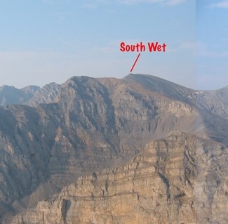
| South Wet Peak | Lost River Range | 11,138 ft | 278 | Climbing and access information for this peak is on Page 287 of the book.
Although this ... read more | |
| Pavlos Peak | Lost River Range | 11,109 ft | 1209 | 1995 | Climbing and access information for this peak is on Page 268 of the book.
Pavlos is the ... read more |
| Peak 11100 (True Grit) | Lost River Range | 11,100 ft | 400 | 2020 | This peak is not in the book. read more |
| Peak 11090 (Mount Darcy) | Lost River Range | 11,090 ft | 950 | 1991 | Climbing and access information for this peak, formerly Gooseberry Peak, is on Page 267 of the book. Livin ... read more |
| Peak 11090 (Little Regret Peak) | Lost River Range | 11,090 ft | 310 | 2021 | This peak is not in the book. The first known ascent was by Rick Baugher in 20 ... read more |
| Grouse Creek Mountain | Lost River Range | 11,085 ft | 1185 | 1999 | Climbing and access information for this peak is on Page 266 of the book. Updated November 2019
|
| Peak 11081 (North Twin) | Lost River Range | 11,081 ft | 3044 | 2011 | Climbing and access information for this peak is on Page 288 of the book. Below you will find more detaile ... read more |
| Little Mac | Lost River Range | 11,071 ft | Climbing and access information for this peak is on Page 286 of the book. In addition to the access inform ... read more | ||
| Peak 11070 (South Twin) | Lost River Range | 11,070 ft | 530 | Climbing and access information for peak is on Page 288 of the book. Livingston Douglas provides more deta ... read more | |
| Petros Peak | Lost River Range | 11,060 ft | 680 | 1995 | Climbing and access information for this peak is on Page 268 of the book. Three additional routes ... read more |
| Trinity Peak | Lost River Range | 11,050 ft | 800 | 1999 | Climbing and access information for Trinity Peak is on Page 267 of the book. Livingston Douglas has provide ... read more |
| Hope Peak | Lost River Range | 11,020 ft | 560 | Climbing and access information for this peak is on Page 267 of the book. Updated November 2021
| |
| Peak 10965 (Bear Creek Peak) by Derek Percoski | Lost River Range | 10,965 ft | 307 | This peak is not in the book. Elevation and prominence figures are based on recent LiDAR updates. The USGS ... read more | |
| Massacre Mountain | Lost River Range | 10,924 ft | 584 | 1988 | Climbing and access information for this peak is on Page 284 of the book. The book focuses on this big mou ... read more |
| Corner Shot Peak | Lost River Range | 10,913 ft | 670 | Climbing and access information for this peak is on Page 268 of the book. The book lists the elevation at ... read more | |
| Peak 10878 | Lost River Range | 10,878 ft | 418 | 2003 | This peak is not in the book. Livingston Douglas climbed the northeast ridge in 2021 which was likely a fi ... read more |
| Peak 10850 (Sheep Pen Peak) | Lost River Range | 10,850 ft | 350 | This peak is not in the book. The following route information and photo were provided by Rick Baugher. read more | |
| North Massacre Mountain | Lost River Range | 10,824 ft | 364 | 1988 | Climbing and access information for this peak is on Page 284 of the book. Use the Dave Pahlas link below t ... read more |
| Octoberfest Peak | Lost River Range | 10,820 ft | 880 | 1993 | Climbing and access information for this peak is on Page 286 of the book. Livingston Douglas has provided ... read more |
| Jaggle Benchmark | Lost River Range | 10,772 ft | 432 | 2003 | Climbing and access information for this peak is on Pages 288-289 of the book. The route in the book start ... read more |
| King Mountain | Lost River Range | 10,760 ft | 2400 | 1991 | Climbing and access information for this peak is on Page 289 of the book.
King Mountain ... read more |
| Peak 10757 (Metaxy Peak) by Livingston Douglas | Lost River Range | 10,757 ft | 297 | 1991 | Climbing and access information for this peak is on Page 267 of the book. Updated November 2021
|
| Peak 10749 (Pahsimeroi Pyramid) by Livingston Douglas | Lost River Range | 10,749 ft | 569 | This update replaces the climbing and access information for this peak that is found on Pages 267 ... read more | |
| Peak 10742 (Williams Peak) | Lost River Range | 10,742 ft | 732 | 2003 | This peak is not in the book. The north ridge was the only known ascent route. Livingston Douglas added a ... read more |
| Straight Shot Peak | Lost River Range | 10,726 ft | 534 | 2003 | Climbing and access information for this peak is on Page 268 of the book. The book details the original ro ... read more |
| McGowan Peak | Lost River Range | 10,721 ft | 661 | 1991 | Climbing and access information for this peak is on Pages 266-267 of the book. The book lists the elevatio ... read more |
| Sunset Peak | Lost River Range | 10,693 ft | 953 | 2014 | Climbing and access information for this peak is on Page 288 of the book. The route described below is not ... read more |
| Peak 10692 Revised by Livingston Douglas | Lost River Range | 10,692 ft | 416 | This peak is not in the book. Livingston Douglas revised this page with a new route and new photos. Elevat ... read more | |

| Peak 10648 | Lost River Range | 10,648 ft | 388 | This peak is not in the book.
There are 16 ranked summits on the Massacre Mountain quadr ... read more | |
| Peak 10618 (Sunrise Peak) by Livingston Douglas | Lost River Range | 10,618 ft | 638 | Climbing and access information for this peak is on Page 288 of the book. Updated November 2021
| |
| Peak 10615 (Linebacker Peak) | Lost River Range | 10,615 ft | 605 | Climbing and access information for this peak is on Page 266 of the book. The book lists the elevation at ... read more | |

| Peak 10601 (Ramshorn Peak) | Lost River Range | 10,601 ft | 541 | Climbing and access information for this peak is on Page 289 of the book.
Ramshorn Peak ... read more | |
| Peak 10577 by Livingston Douglas | Lost River Range | 10,577 ft | 302 | This peak is not in the book. Published November 2024
Thanks to LiDAR, Peak 10577 is now a ... read more | |
| Peak 10571 | Lost River Range | 10,571 ft | 511 | Climbing and access information for this peak is on Page 289 of the book.
Peak 10571 is ... read more | ||
| Peak 10548 by Livingston Douglas | Lost River Range | 10,548 ft | 334 | This peak is not in the book. Published November 2024
LiDAR measurements identified Peak 1 ... read more | |
| Peak 10439 | Lost River Range | 10,439 ft | 499 | This peak is not in the book.
This peak is located east of the Lost River Range Crest an ... read more | ||
| Peak 10420 by Livingston Douglas | Lost River Range | 10,420 ft | 760 | Climbing and access information for this peak is on Page 269 of the book. The route in the book utilizes t ... read more | |
| Peak 10340 (Judas Peak) | Lost River Range | 10,340 ft | 320 | This peak is not in the book. Derek Percoski likely made the first ascent. Livingston Douglas added photos ... read more | |

| Peak 10309 | Lost River Range | 10,309 ft | 1001 | 1995, 2025 | Climbing and access information for this peak is on Page 284 of the book. The map elevation for this peak ... read more |
| Peak 10286 (Red Cone Peak) | Lost River Range | 10,286 ft | 386 | 2011 | This peak is not in the book. Red Cone Peak is located 0.8 miles south of North Twin. Climb this p ... read more | |
| Peak 10202 | Lost River Range | 10,202 ft | 422 | This peak is not in the book.
Peak 10202 is located due east of Massacre Mountain and no ... read more | |
| Peak 10199 (Sawmill Hill) | Lost River Range | 10,199 ft | 391 | This peak is not in the book. The map elevation is 10,195 feet. LiDAR calculations place the elevation ... read more | |
| Peak 10168 (East Burnt Peak) | Lost River Range | 10,168 ft | 801 | 2017 | This peak is not in the book. Livingston Douglas added additional access and route information as well as ... read more |
| Peak 10113 (Methodist Peak) by Livingston Douglas | Lost River Range | 10,113 ft | 332 | This peak is not in the book. Paul Lind made the first ascent. According to Derek Percoski, Paul “came u ... read more | |
| Peak 10039 by Livingston Douglas | Lost River Range | 10,039 ft | 299 | This peak is not in the book. Published November 2021
Peak 10039 is a bump on the south ... read more | |
| Peak 9965 by Livingston Douglas | Lost River Range | 9,965 ft | 349 | This peak is not in the book. The map elevation is 9,961 feet. Published November 2024
Pea ... read more | |
| Peak 9960 by Livingston Douglas | Lost River Range | 9,960 ft | 684 | This peak is not in the book. Published November 2021
Peak 9660 is a rocky outcrop that ... read more | |
| Peak 9854 by Livingston Douglas | Lost River Range | 9,854 ft | 954 | This peak is not in the book. Published November 2021
Peak 9854 towers over Christian Gu ... read more | |

| Burnt Creek WSA HP by Livingston Douglas | Lost River Range | 9,817 ft | 306 | This peak is not in the book. Published November 2024
Burnt Creek WSA HP is an overlooke ... read more | |
| Peak 9755 by Livingston Douglas | Lost River Range | 9,755 ft | 535 | This peak is not in the book. Published November 2021
Peak 9755 is a forested hump that ... read more | |
| Hawley Mountain | Lost River Range | 9,752 ft | 2812 | 1980, 1981, 1999 | Climbing and access information for this peak is on Pages 287-288 of the book. Steve Mandella added photos ... read more |
| Peak 9674 (Line Peak) by Livingston Douglas | Lost River Range | 9,674 ft | 918 | This peak is not in the book. The unofficial name was used by T.M. Bannon of the USGS in 1915. Use the link ... read more | |
| Peak 9660 (Elbow Rest) by Livingston Douglas | Lost River Range | 9,660 ft | 684 | This peak is not in the book. The name was proposed by Rick Baugher. Published March 2025 | |
| Peak 9660 by Livingston Douglas | Lost River Range | 9,660 ft | 400 | This peak is not in the book. Published November 2024
Peak 9660 is a rocky, intimidating ... read more | |

| Peak 9597 by Livingston Douglas | Lost River Range | 9,597 ft | 617 | This peak is not in the book. Published November 2024
Peak 9597 is the middle of three p ... read more | |
| Donkey Benchmark | Lost River Range | 9,555 ft | 1855 | This peak is not in the book. Livingston Douglas added a new access point, new route, and new photos. Fina ... read more | |
| Peak 9552 | Lost River Range | 9,552 ft | 1132 | This peak is not in the book. Livingston Douglas added new routes, access starting point, and photos. Upda ... read more | |
| Peak 9524 (Crows Nest Peak) by Livingston Douglas | Lost River Range | 9,524 ft | 384 | This peak is not in the book. The name was suggested by Rick Baugher. I added two photos by Rick Baugher t ... read more | |
| Peak 9513 by Livingston Douglas | Lost River Range | 9,513 ft | 533 | This peak is not in the book. Published November 2024
Peak 9513 is the southernmost of t ... read more | |
| Warren Mountain by Livingston Douglas | Lost River Range | 9,473 ft | 452 | 2025 | Climbing and access information for this peak is on Page 286 of the book. The map elevation is 9,469. read more |
| Peak 9386 (Franklin Peak) by Livingston Douglas | Lost River Range | 9,386 ft | 486 | This peak is not in the book. I added two photos from Rick Baugher at the bottom of the page. Rick probabl ... read more | |
| Peak 9382 by Livingston Douglas | Lost River Range | 9,382 ft | 482 | This peak is not in the book. Published November 2021
Peak 9382 is located at the head o ... read more | |
| Peak 9375 | Lost River Range | 9,375 ft | 766 | 2020 | This peak is not in the book. Livingston Douglas added new routes and photos. Updated November 2024 ... read more |
| Spring Hill | Lost River Range | 9,349 ft | 1509 | 2021 | This peak is not in the book. Derek Percoski provided the route information set out below. I added photos ... read more |
| Peak 9330 by Livingston Douglas | Lost River Range | 9,330 ft | 484 | This peak is not in the book. Published November 2024
Peak 9330 is a ranked bump on the le ... read more | |

| Peak 9315 by Livingston Douglas | Lost River Range | 9,315 ft | 925 | This peak is not in the book. Published November 2021
Peak 9315 is located on the north ... read more | |
| Peak 9291 | Lost River Range | 9,291 ft | 591 | 2020 | This peak is not in the book. Livingston Douglas added new photos. Updated November 2024
... read more |
| Peak 9287 by Livingston Douglas | Lost River Range | 9,287 ft | 427 | This peak is not in the book. Published November 2024
Peak 9287 is located west of Donke ... read more | |
| Peak 9276 by Livingston Douglas | Lost River Range | 9,276 ft | 933 | This peak is not in the book. Published November 2021
Peak 9276 is located southeast of ... read more | |

| Peak 9248 | Lost River Range | 9,248 ft | 508 | 2020 | This peak is not in the book. Livingston Douglas added new route, access starting point, and photos. Updat ... read more |
| Peak 9195 (Cedarville Peak) by Livingston Douglas | Lost River Range | 9,195 ft | 695 | This peak is not in the book. Rick Baugher suggested the unofficial name. Published November 2024
| |
| Peak 9191 by Livingston Douglas | Lost River Range | 9,191 ft | 371 | This peak is not in the book. Published November 2024
Peak 9191 is an overlooked summit. ... read more | |
| Peak 9188 by Livingston Douglas | Lost River Range | 9,188 ft | 328 | This peak is not in the book. Published November 2021
Peak 9188 is located across the We ... read more | |
| Peak 9053 (Little Spring Hill) | Lost River Range | 9,053 ft | 833 | This peak is not in the book. Rick Baugher suggests the name “Little Spring Hill” for this peak. Margo ... read more | |
| Pia Soko Katete by Livingston Douglas | Lost River Range | 9,053 ft | 311 | This peak is not in the book. I believe the Native American name, Pia Soko Katete, is either Bannock or Sh ... read more | |
| Jumpoff Peak | Lost River Range | 9,045 ft | 2025 | 2015 | This peak is not in the book. Updated December 2019
Jumpoff Peak is the highest point in ... read more |
| Peak 9040 (Hook Mountain) by Livingston Douglas | Lost River Range | 9,040 ft | 676 | This peak is not in the book. The unorthodox name was suggested by Rick Baugher who climbed the peak in 20 ... read more | |
| Peak 9004 | Lost River Range | 9,004 ft | 344 | This peak is not in the book. Updated December 2019
Peak 9004 is located due north of read more | |
| Peak 8992 by Livingston Douglas | Lost River Range | 8,992 ft | 327 | This peak is not in the book. Published November 2024
Thank ... read more | |
| Peak 8986 (In the Way Peak) | Lost River Range | 8,986 ft | 292 | 1988, 2020 | This peak is not in the book. read more |
| Peak 8937 | Lost River Range | 8,937 ft | 437 | This peak is not in the book. Margo Mandella and Livingston Douglas have provided two takes on climbing th ... read more | |
| Peak 8860 by Livingston Douglas | Lost River Range | 8,860 ft | 280 | This peak is not in the book. Livingston climbed this peak along with its three neighbors. See the read more | |
| Peak 8860 by Livingston Douglas | Lost River Range | 8,860 ft | 440 | This peak is not in the book. Published November 2021
Peak 8860 is a scrub hill that is ... read more | |
| Peak 8839 by Livingston Douglas | Lost River Range | 8,839 ft | 299 | This peak is not in the book. Published November 2021
Peak 8839 is a rocky outcrop that ... read more | |
| Peak 8820 by Livingston Douglas | Lost River Range | 8,820 ft | 320 | This peak is not in the book. Peak 8820 is noted for its ragged, steep summit ridge. The peak is located s ... read more | |
| Peak 8817 by Livingston Douglas | Lost River Range | 8,817 ft | 398 | This peak is not in the book. Published November 2024
Peak 8817 sits southwest of Deer C ... read more | |
| Peak 8791 by Livingston Douglas | Lost River Range | 8,791 ft | 491 | 2024 | This peak is not in the book. I added my GPS track which covers Livingston’s route. Published November 2 ... read more |
| Howe Peak | Lost River Range | 8,701 ft | 1041 | This peak is not in the book. There are two routes set out below: the road route and Livingston Douglas’ ... read more | |
| Peak 8681 by Livingston Douglas | Lost River Range | 8,681 ft | 381 | This peak is not in the book. Published November 2024
Peak 8681 is one of several foothill ... read more | |
| Rock of Ages by Livingston Douglas | Lost River Range | 8,649 ft | 42 | This formation is not in the book. The BGN page for this feature classifies it as “pillar” but has no ... read more | |
| Taylor Mountain 8644 | Lost River Range | 8,644 ft | 1224 | 2020 | This peak is not in the book. Livingston Douglas added a new route and photos. Updated November 2024 ... read more |

| Peak 8624 by Livingston Douglas | Lost River Range | 8,624 ft | 284 | This peak is not in the book. Published November 2021
Peak 8624 is located on the northe ... read more | |

| Peak 8604 by Livingston Douglas | Lost River Range | 8,604 ft | 584 | This peak is not in the book. Published November 2024
Peak 8604 is a foothill on the nor ... read more | |
| Peak 8603 (Howes Shadow) by Livingston Douglas | Lost River Range | 8,603 ft | 303 | This peak is not in the book. Published December 2019
Peak 8603 is the ... read more | |
| Peak 8562 (Clyde Peak) by Livingston Douglas | Lost River Range | 8,562 ft | 709 | This peak is not in the book. The unofficial name was suggested by Rick Baugher who climbed the peak in 20 ... read more | |

| Peak 8522 by Livingston Douglas | Lost River Range | 8,522 ft | 985 | This peak is not in the book. Published October 2025
Peak 8522 sits due south of Grouse Pe ... read more | |
| Peak 8473 by Livingston Douglas and IACG | Lost River Range | 8,473 ft | 893 | This peak is not in the book. Livingston Douglas created the original page for this peak. His route can be ... read more | |
| Peak 8467 by Livingston Douglas | Lost River Range | 8,467 ft | 327 | This peak is not in the book. Published November 2024
Peak 8467 is located west of Donke ... read more | |
| Grouse Peak by Livingston Douglas | Lost River Range | 8,464 ft | 328 | This peak is not in the book. Published October 2025
Grouse Peak is the namesake peak in ... read more | |
| Mahogany Hill by Livingston Douglas | Lost River Range | 8,441 ft | 751 | This peak is not in the book. Published December 2024
Mahogany Hill is the highest of a co ... read more | |
| Peak 8435 by Livingston Douglas | Lost River Range | 8,435 ft | 655 | This peak is not in the book. Published November 2021
Peak 8435 is located above Arentso ... read more | |
| Peak 8387 (The Cape) | Lost River Range | 8,387 ft | 407 | 2020 | This peak is not in the book. Livingston Douglas added a new route description with a different starting p ... read more |
| Peak 8387 (White Hills) by Livingston Douglas | Lost River Range | 8,387 ft | 299 | This peak is not in the book. The elevation and prominence figures are based on recent LiDAR updates. Publi ... read more | |
| Peak 8383 | Lost River Range | 8,383 ft | 443 | This peak is not in the book. The initial peak description and route is by Margo Mandella. Livingston Doug ... read more | |
| Peak 8340 (North Zollinger Point) by Livingston Douglas | Lost River Range | 8,340 ft | 320 | This peak is not in the book. The name is derived from a nearby cabin. See Dave Pahlas’ trip report link ... read more | |
| Sage Hen Benchmark by Livingston Douglas | Lost River Range | 8,340 ft | 360 | This peak is not in the book. Published October 2025
Sage Hen Benchmark sits north of Grou ... read more | |
| Peak 8300 by Livingston Douglas | Lost River Range | 8,300 ft | 480 | This peak is not in the book. Published November 2024
Peak 8300 is a ranked bump on the ... read more | |
| Peak 8288 (South Zollinger Point) by Livingston Douglas | Lost River Range | 8,288 ft | 348 | This peak is not in the book. The name is derived from a nearby cabin. See Dave Pahlas’ trip report link ... read more | |
| Peak 8170 by Livingston Douglas | Lost River Range | 8,170 ft | 710 | This peak is not in the book. Published December 2019
Peak ... read more | ||
| Peak 8150 | Lost River Range | 8,150 ft | 1170 | 2014 | This peak is not in the book. Livingston Douglas provided the alternative access and new route information ... read more |
| Peak 8082 | Lost River Range | 8,082 ft | 302 | 2014 | This peak is not in the book. Margo Mandella and Livingston Douglas provided the alternative and harder rou ... read more |
| Peak 7967 by Livingston Douglas | Lost River Range | 7,967 ft | 310 | This peak is not in the book. Published December 2024
Peak 7967 and its neighbor Peak 7965 ... read more | |

| Peak 7965 by Livingston Douglas | Lost River Range | 7,965 ft | 355 | This peak is not in the book. Published December 2024
Peak 7965 and its neighbor Peak 7967 ... read more | |
| Peak 7820 by Livingston Douglas | Lost River Range | 7,820 ft | 440 | This peak is not in the book. Published October 2025
Peak 7820 is a rugged, rocky peak loc ... read more | |
| Peak 7790 by Livingston Douglas | Lost River Range | 7,790 ft | 290 | This peak is not in the book. Published November 2020
Peak 7790 is one of the foothills be ... read more | |
| Peak 7768 | Lost River Range | 7,768 ft | 588 | This peak is not in the book. Margo Mandella prepared the first edition of this page. Livingston Douglas s ... read more | |
| Red Hill | Lost River Range | 7,717 ft | 337 | 2020 | This peak is not in the book. Livingston Douglas added a new access point, a new route, and photos. Update ... read more |
| Peak 7668 by Livingston Douglas | Lost River Range | 7,668 ft | 368 | This peak is not in the book. Published November 2021
Peak 7668 towers over Little Antel ... read more | |
| Peak 7630 by Livingston Douglas | Lost River Range | 7,630 ft | 450 | This peak is not in the book. Published October 2025
Peak 7630 is a rocky peak that sits a ... read more | |
| Peak 7552 by Livingston Douglas | Lost River Range | 7,552 ft | 422 | This peak is not in the book. Published October 2025
Peak 7552 is the northernmost of the ... read more | |
| Arco Peak | Lost River Range | 7,547 ft | 607 | This peak is not in the book. Margo Mandella prepared the original post. Livingston Douglas provided two a ... read more | |
| Peak 7541 by Livingston Douglas | Lost River Range | 7,541 ft | 321 | This peak is not in the book. Published November 2021
Peak 7541 is a minor scrub hump that ... read more | |
| Peak 7540 (North Arco Peak) by Livingston Douglas | Lost River Range | 7,540 ft | 280 | This peak is not in the book. Published November 2021
North Arco Peak is a soft-ranked h ... read more | |
| Peak 7527 (Fawn Peak) | Lost River Range | 7,527 ft | 311 | 2020 | This peak is not in the book. Livingston Douglas climbed the peak via a different access and route. His up ... read more |
| Peak 7395 | Lost River Range | 7,395 ft | 335 | 2020 | This peak is not in the book. Livingston Douglas added a new descent route and photos. Updated November 20 ... read more |

| Arco Hills High Point by Livingston Douglas | Lost River Range | 7,380 ft | 840 | This peak is not in the book. Livingston reported that “This was probably the single most dangerous, mos ... read more | |
| Peak 7333 | Lost River Range | 7,333 ft | 553 | This peak is not in the book. Margo Mandella prepared the first version of this page including the introdu ... read more | |
| Peak 7226 by Livingston Douglas | Lost River Range | 7,226 ft | 406 | This peak is not in the book. Published November 2020
Peak 7226 is one of the foothills be ... read more | |

| Peak 7210 by Livingston Douglas | Lost River Range | 7,210 ft | 268 | This peak is not in the book. Published November 2024
While not a ranked summit, Peak 7210 ... read more | |
| Peak 7194 | Lost River Range | 7,194 ft | 574 | This peak is not in the book. Livingston Douglas provided new route information which is set out below Mar ... read more | |
| Peak 7070 by Livingston Douglas | Lost River Range | 7,070 ft | 360 | This peak is not in the book. Published November 2024
Peak 7070 is a handsome scrub hill ... read more | |
| Peak 6990 | Lost River Range | 6,990 ft | 410 | This peak is not in the book. Margo Mandella provided the northeast ridge route and Livingston Douglas has ... read more | |
| Peak 6890 by Livingston Douglas | Lost River Range | 6,890 ft | 320 | This peak is not in the book. Published November 2023
Peak 6890 is one of two rock-and-sag ... read more | |
| Peak 6809 by Livingston Douglas | Lost River Range | 6,809 ft | 305 | This peak is not in the book. The Peakbagger.com website calls this peak "Leaton Gulch Hill." The elevation ... read more | |
| Peak 6558 by Livingston Douglas | Lost River Range | 6,558 ft | 488 | This peak is not in the book. Published November 2023
Peak 6558 is one of two rock-and-sag ... read more | |
| Peak 6435 by Livingston Douglas | Lost River Range | 6,435 ft | 375 | This peak is not in the book. Published November 2021
Peak 6435 is a rather insignifican ... read more | |
| Peak 6419 by Livingston Douglas | Lost River Range | 6,419 ft | 549 | This peak is not in the book. Published November 2023
Peak 6419 is one of a pair of sagebr ... read more | |
| Peak 6378 by Livingston Douglas | Lost River Range | 6,378 ft | 368 | This peak is not in the book. Published November 2023
Peak 6378 is one of a pair of sagebr ... read more | |
| Peak 6301 by Livingston Douglas | Lost River Range | 6,301 ft | 361 | This peak is not in the book. Published November 2023
Peak 6301 is a sagebrush hill loca ... read more | |
| Peak 6232 by Livingston Douglas | Lost River Range | 6,232 ft | 492 | This peak is not in the book. Published November 2023
Peak 6232 is the northernmost peak ... read more | |
| Peak 6060 by Livingston Douglas | Lost River Range | 6,060 ft | 480 | This peak is not in the book. Published October 2025
Peak 6060 sits above Pennal Gulch a ... read more | |
| Peak 5986 by Livingston Douglas | Lost River Range | 5,986 ft | 436 | This peak is not in the book. Published November 2020
Peak 5986 is a rather inconsequent ... read more | |
| Peak 5927 (Howe Hills) by Livingston Douglas | Lost River Range | 5,927 ft | 547 | This peak is not in the book. Published November 2019
The m ... read more | |

| Peak 5681 by Livingston Douglas | Lost River Range | 5,681 ft | 501 | This peak is not in the book. Published November 2024
Peak 5681 is the northernmost of t ... read more | |
| Peak 5502 by Livingston Douglas | Lost River Range | 5,502 ft | 315 | This peak is not in the book. Published November 2024
Peak 5502 is a hidden peak that is l ... read more | |
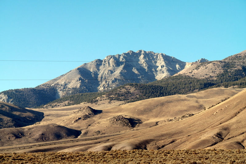
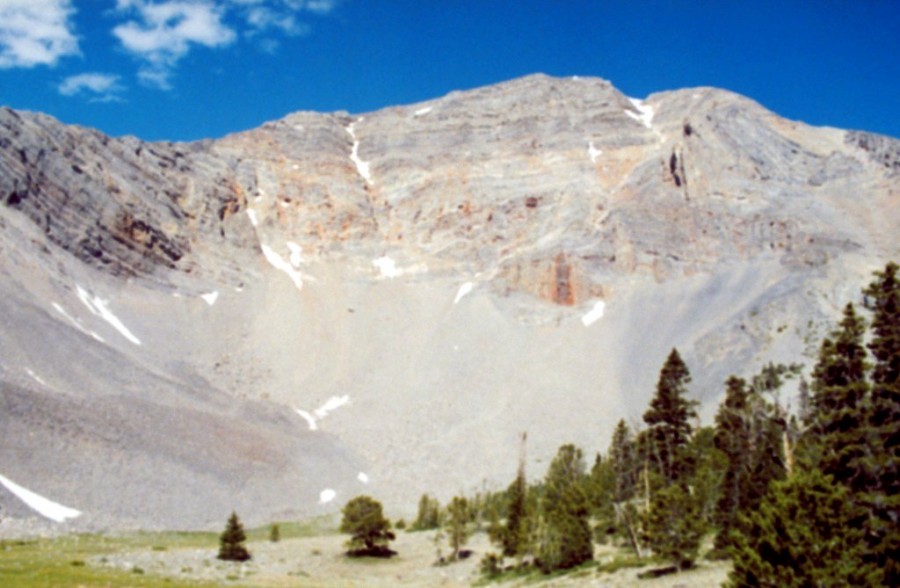
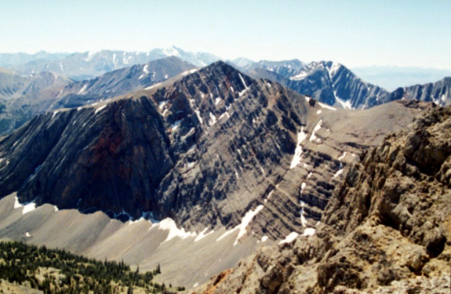
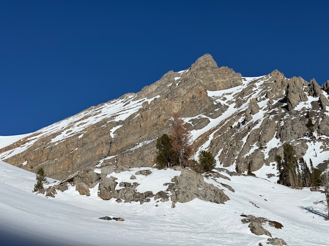
| LOST RIVER MOUNTAIN RANGE | Lost River Range | 0 ft | The Lost River Range is covered in the book on Pages 265-295. All of the Lost River Range peaks covered by ... read more | ||
|
| Hawley Mountains | Lost River Range | 0 ft | The Hawley Mountains are the southernmost of a ridge system that parallels the Lost River Range crest on its e ... read more | ||
| Donkey Hills | Lost River Range | 0 ft | The eastern slopes of the Lost River Range are buttressed by three ridges that parallel the main crest. From n ... read more | |||
| Red Hills | Lost River Range | 0 ft | The Red Hills are the middle group of three large ridges that buttress the Lost River Range’s eastern flank. ... read more |